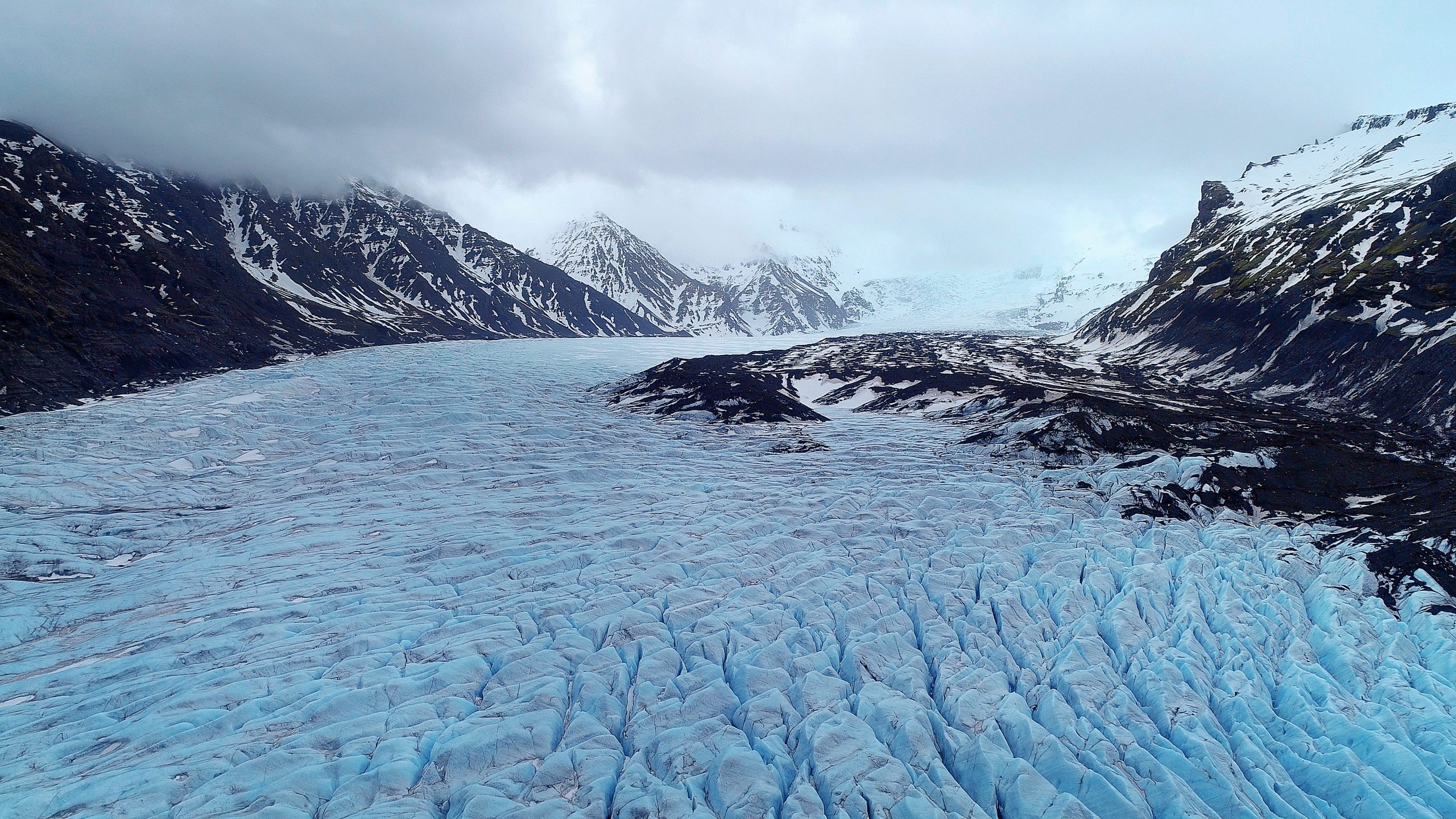
Trips to the glaciers are not without danger! Icelandic glaciers are constantly moving and the weather on the glacier can be much more unforgiving than in other remote areas. It’s important to be aware of crevasse areas and high-risk zones to be able to plan a route around them. Under NO CIRCUMSTANCES should you go on a glacier without experience or the proper equipment. Hiring a guide will ensure you have an experienced leader with proper equipment and training!
Travels near Grímsfjall: Caution – cauldrons at Grímsvötn
Around Grímsvötn there are now two cauldrons. One of them was formed during a glacial outburst flood from Grímsvötn in 2021, while the other has formed in a recent outburst flood (2024) or was an older cauldron that has reopened. The cauldrons are close to the travel route east of Grímsfjall. Travelers are asked to show caution and avoid the cauldrons when traveling through this area.
Coordinates for the location of the cauldrons are as follows:
● Cauldron GV-33: 64°23,611′ og -17°13,017′ (decimal degrees, WGS-84)
● New cauldron (2024): 64°23,766′ og -17°12,729′ (decimal degrees, WGS-84)
Further information can be found from the Met office here: https://en.vedur.is/about-imo/news/glacial-flood-jokulhlaup-has-started-from-grimsvotn
Along side these crevasse maps, waypoints have been issued for experienced drivers. These can be accessed here for Garmin and on gpx format.
In order to understand these waypoints it’s important to read the instructions and they can be accessed here.
Below are maps that show known crevasse areas on the glaciers. The goal is to increase safety for those who have experience and are planning on traversing the glaciers but one must remember that crevasses can appear with limited warning signs!
Those who already own a Map of Iceland from Garmin (or plan to buy it) can download an updated version with the crevasse map included on www.garmin.is/kort.
Those who have an older version of the maps or want to have the crevasse map as ‘a layer’ on their device can download the crevasse map on the bottom of this page.
The crevasse map as a layer works well in new outdoor devices and Nuvi devices. The layered map does not work with marine devices but a 2012 Map of Iceland with the crevasse map included works in newer marine devices. These include: GPSmap 420/421, 520/521, 525/526, 720, 4010 and other devices more recent than from 2006. Older device such as 172S,0292 and 276C have not been tested. 182C was tested and the most dangerous area did not distinct from other areas on the layer. We are working on resolving that issue.
| Glacier | Download | GPS (PC) | GPS (MAC) |
|---|---|---|---|
| – | – | ZIP | ZIP |
| Langjökull Glacier | Langjökull | – | – |
| Eyjafjallajökull Glacier | Eyjafjallajökull | – | – |
| Mýrdalsjökull Glacier | Mýrdalsjökull | – | – |
| Drangajökull Glacier | Drangajökull | – | – |
| Vatnajökull Glacier | Vatnajökull | – | – |
| Snæfellsjökull Glacier | Snæfellsjökull | – | – |
| Hofsjökull Glacier | Hofsjökull | – | – |