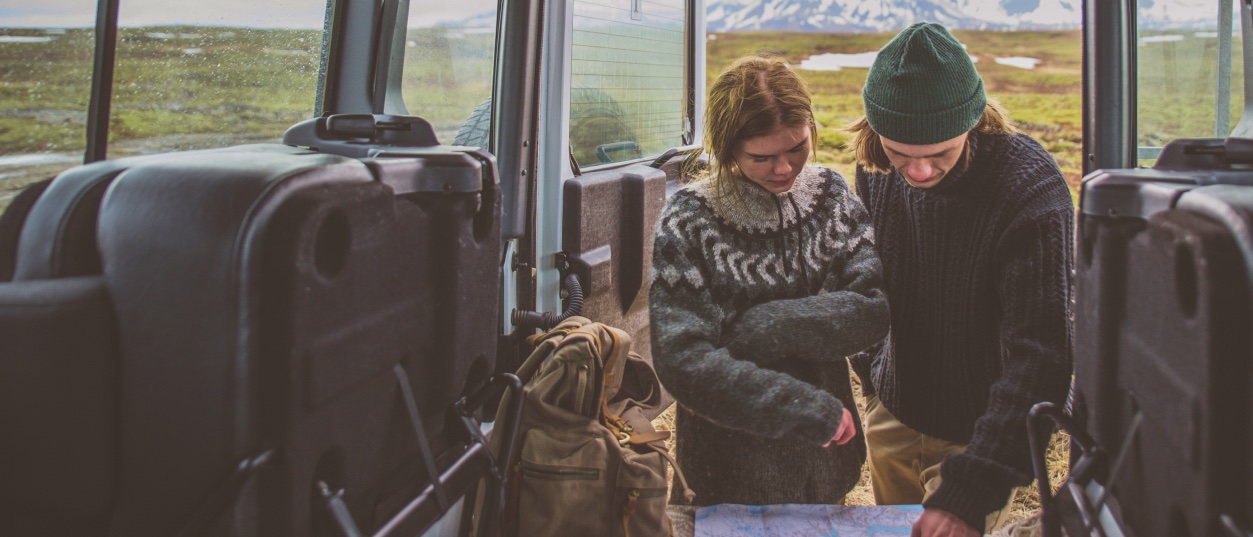
Eruption site north-east of Grindavík
Update: March 11th, 2025. Increased activity is observed. Information will be updated if the situation changes.
Eruption status: There is no eruption ongoing. Increased possibility of an eruption in the area. Here below is a map which outlines the hazardous areas.
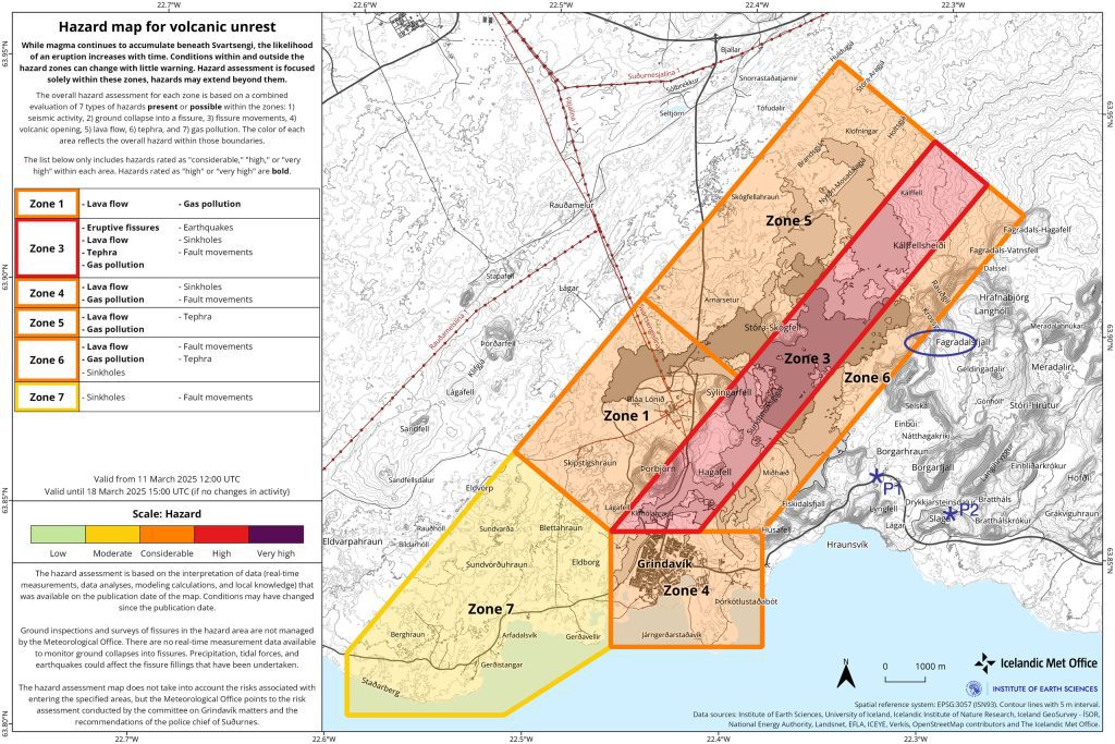
The town of Grindavík (Zone 4) is open but visitors are advised not to visit the town due to its vicinity to possible eruption. Moreover, the town has been greatly affected by earthquakes and the volcanic activity. Affected areas have been fenced off. Do note that hiking outside of areas marked „safe“ is considered dangerous due to unmapped crevasse . Recommended points of interest inside the town are marked on the google map here below (green icons ). In the event of an eruption, alarm will be sounded in the town to signal evacuation. Please note the nearest and quickest way out of town. Escape routes are clearly marked.
Sundhnúkagígar eruption site (Zone 3) status: Increased possibility of an eruption in the area. Scientists state that eruption might break without any warning. Therefore, visitors are advised not to hike to the eruption site. Within that area is also unsecure grounds, cracks and holes that might not be visible.
Mt. Fagradalsfjall eruption site of 2021-2023. Possible eruption at Sundhnúkagígar could result in a temporary closure of the area. People visiting the area are advised to stay alerted for possible eruption and to evacuate the area immediately if any signs of eruption are detected. Moreover not to use flight mode on phones while staying in the area since information regarding eruption can be delivered via text messages. P1 is a recommended spot to park and from there is a well marked hiking trail up to have view over the eruption site, it is the red trail on the map. Another option is to park at P2 and hike a shorter trail to one of the lava tongue in Nátthagi. This area is mountain terrain, please dress according to weather. Visitors are advised against hiking from there to the newest eruption site in Sundhnúkagígar due to unsecure grounds and other risks.
@visitreykjanes.is for more detailed history, news and information how to plan your travel in the area.
Please note that this google map does not show the outline of the latest lava flow. Merely the points of intrest and parking etc.